Integrated field and design capabilities

See more.
Assume less.

From early records research through verified utility data, survey control, and civil design, CNC provides coordinated information your team can use to make decisions and keep work moving.

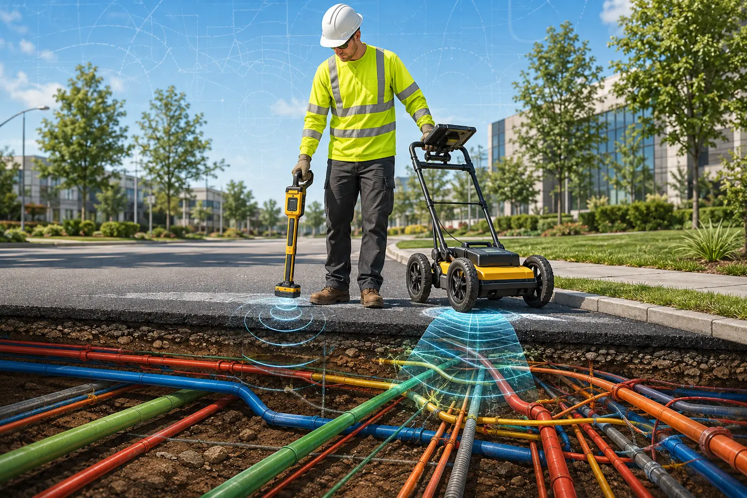
CNC utility designation technician in Class 3 safety apparel operating an electromagnetic locator
01

Subsurface Utility Engineering

Find it before design—or construction—does.

CNC applies the ASCE 38-22 quality-level framework to reduce utility risk. We combine records, surface evidence, geophysical designation, and nondestructive test holes to develop defensible utility information for design and construction.
  • Quality Level A test holes
  • Quality Level B utility designation
  • Records research and utility coordination
  • GPR and electromagnetic locating
  • Utility conflict analysis
02

Surveying & Mapping

Reliable control and clear existing conditions.

Our survey teams establish dependable control and document the features that shape design. Field observations are processed into clear, coordinated deliverables for planning, permitting, design, and construction.
  • Topographic and planimetric surveys
  • Boundary and right-of-way surveys
  • Construction stakeout
  • As-built documentation
  • Transmission corridor surveys
03

Civil Engineering

Design informed by what is actually in the field.

CNC turns verified existing-condition data into practical civil solutions. Our engineers coordinate grading, drainage, access, and utilities with constructability and agency requirements in mind.
  • Site and utility design
  • Grading and drainage
  • Stormwater management
  • Permitting support
  • Infrastructure coordination
04

LiDAR, Drones & Reality Capture

Complex environments, captured completely.

We capture dense, measurable records of facilities, corridors, and hard-to-access environments. Registered point clouds, imagery, and models give teams a durable reference for analysis and design.
  • Terrestrial 3D laser scanning
  • Part 107 drone operations
  • Aerial LiDAR and photogrammetry
  • Point clouds and 3D models
  • Clearance and condition documentation

From marks to models

Three field workflows.
One coordinated team.

Designate

Designate

Trace and mark underground utilities using proven geophysical methods.

Verify

Verify

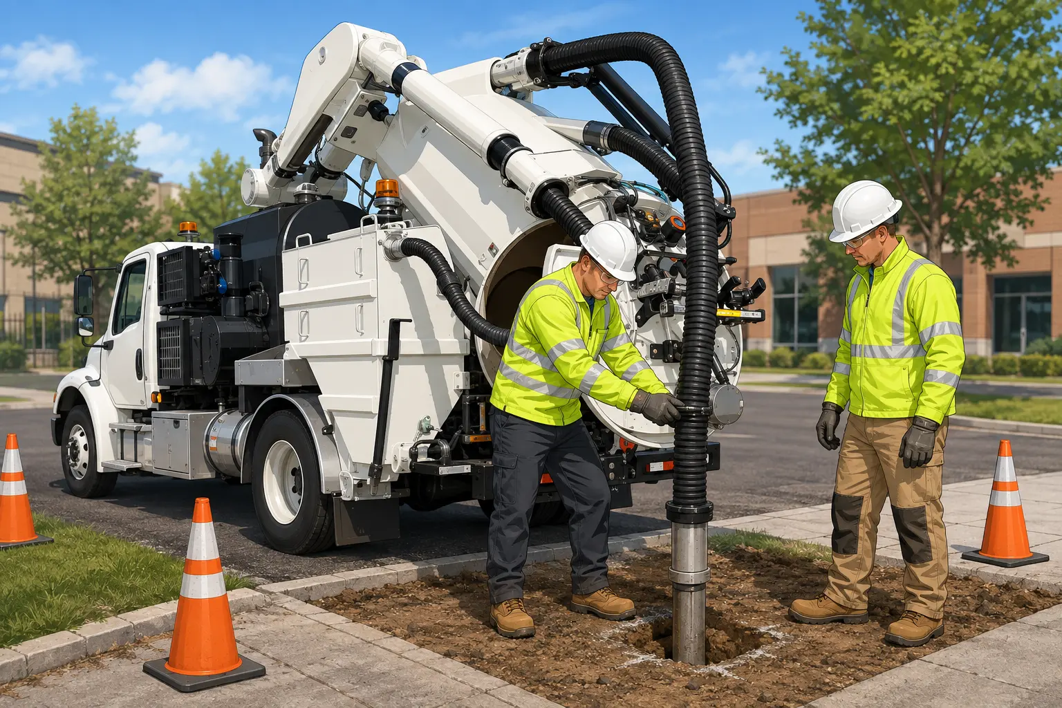
Confirm depth, size, and material through precise vacuum excavation.

Map

Map

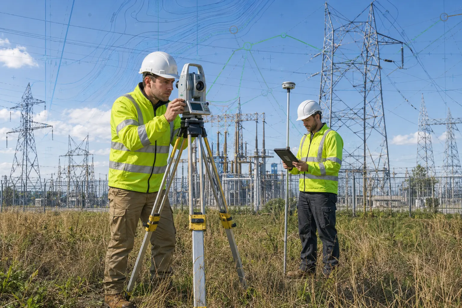
Tie verified information to accurate survey control and deliverables.

The CNC commitment

Care.
Never.
Compromise.

Start a conversation