Subsurface Utility Engineering
Quality Levels A–D, utility designation, test holes, GPR, and conflict investigation.
↗ Start a project ↗
The CNC commitment
CNC connects field investigation, surveying, and engineering in one responsive team—giving project leaders the clarity to act with confidence.
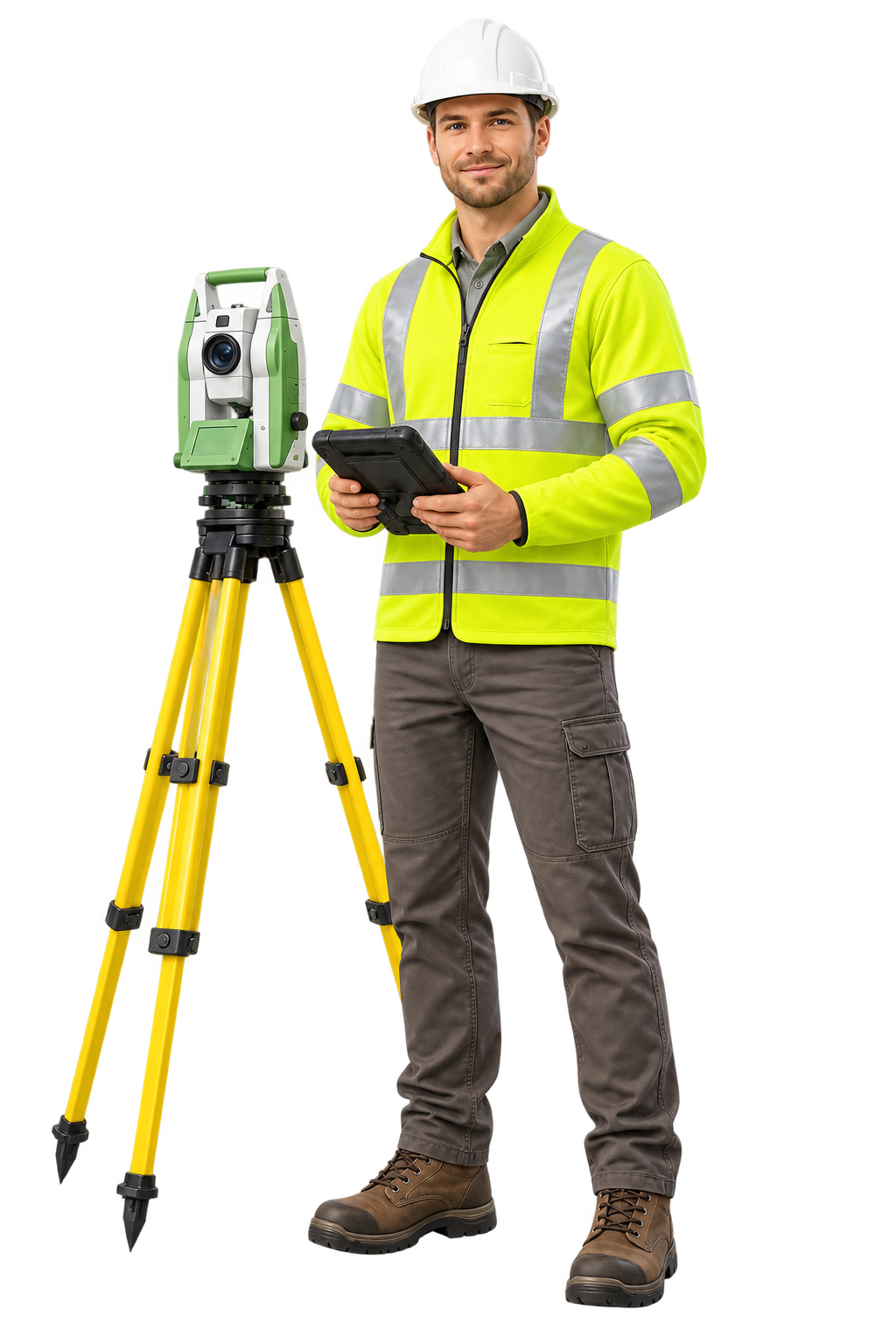
One team. More certainty.
From the first utility mark to the final as-built, CNC delivers practical answers in the field and design-ready data in the office.
Why clients choose CNC ↗Capabilities
Quality Levels A–D, utility designation, test holes, GPR, and conflict investigation.
↗Boundary, topographic, construction, as-built, and right-of-way surveys.
↗Practical site, grading, drainage, and utility design grounded in field conditions.
↗Terrestrial and aerial scanning, photogrammetry, and precise 3D documentation.
↗How CNC works
Realistic field workflows informed by CNC’s equipment, safety standards, and project experience.
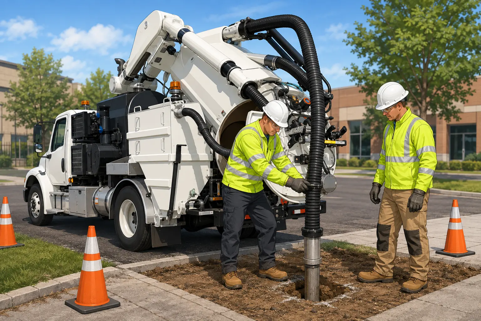
Expose utilities safely and precisely through controlled, nondestructive excavation.
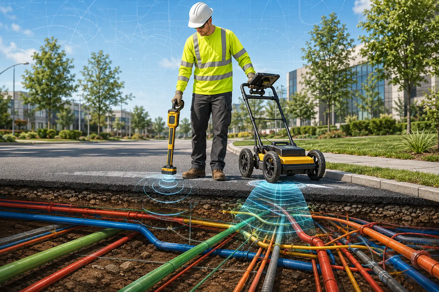
Combine electromagnetic locating and GPR to identify and mark subsurface infrastructure.
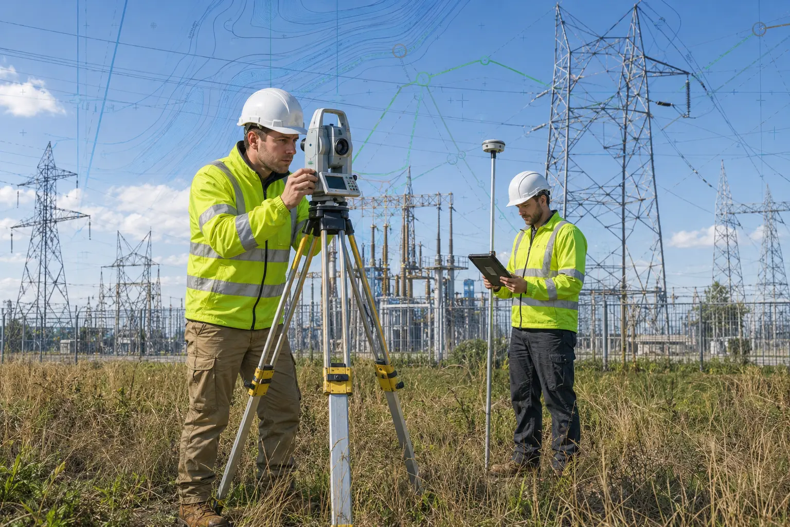
Capture accurate control, existing conditions, and design-ready spatial data.
Your field partner
Our specialists combine modern tools, disciplined processes, and hard-earned field judgment.
Meet your next opportunity ↗